
Last Update: Saturday, November 19, 2016

 Contact
Me
Contact
Me
| May 8, 2010 --- Ciudad Constitucion => Rancho La Aguja, BCS |
|
Last Update: Saturday, November 19, 2016 |
|
Contact
Me
|
|
So what started off as going off to Baja for three weeks to clear my head, feel the warm rays of the summer sun on the Tropic of Cancer and do a little networking for Baja job opportunities has turned into a 10-week sojourn including settling down for the month of June in my own little cabaña near the Villa del Palmar resort in Cabo San Lucas. |
 After
camping south of Ciudad Constitucion, I headed back into town to try and
call Roberto from a landline since my Telmex cell phone did not appear to be
working; which I didn't find. I did however get some sort of a traffic
ticket for "running-a-non-existent-stop-sign"
routine (it's a trap all over town!), the first of three on this trip, and
paid a $10 mordida (bribe) just to keep moving. On
the return trip, this made me angry and I decided to fight another
"ticket." After
camping south of Ciudad Constitucion, I headed back into town to try and
call Roberto from a landline since my Telmex cell phone did not appear to be
working; which I didn't find. I did however get some sort of a traffic
ticket for "running-a-non-existent-stop-sign"
routine (it's a trap all over town!), the first of three on this trip, and
paid a $10 mordida (bribe) just to keep moving. On
the return trip, this made me angry and I decided to fight another
"ticket."
I'd been given the "imaginary-pedestrian-in-a-crosswalk scam" that I'd heard about before-hand on the Baja Nomad forums. It's a short driving day today to Rancho La Aguja. |
 Ever wonder why Los Cabos and other select
Mexican destinations come into being and grow like crazy? It's not luck or
coincidence. It's all very well-planned. Thanks to Fonatur,
the "institution responsible for the planning and development of sustainable tourism projects."
And with respect to the Baja Peninsula specifically, there is
the vision of the Escalera
Nautica, the Nautical Ladder --- a
mega project; canceled "as is" in early 2010. Ever wonder why Los Cabos and other select
Mexican destinations come into being and grow like crazy? It's not luck or
coincidence. It's all very well-planned. Thanks to Fonatur,
the "institution responsible for the planning and development of sustainable tourism projects."
And with respect to the Baja Peninsula specifically, there is
the vision of the Escalera
Nautica, the Nautical Ladder --- a
mega project; canceled "as is" in early 2010. |
| Google Earth Placemarks | The Trip | Maps |
|
|

|
| Video Clips | ||||||||||||||
|
|
|
|||||||||||||
|
Cool, foggy, damp. I think bicyclists riding
the narrow roads down hear are crazy.
Electricity everywhere. The microondas (microwave communications towers) used to be one of the few things you could orient your location to. |


|

 |
||||||||||||
| Motorcyclists,
too. This is the guy that camped next to me last night.
Construction abounds. Dirt & gravel detours. But progress seems quick. |


|

 |
||||||||||||
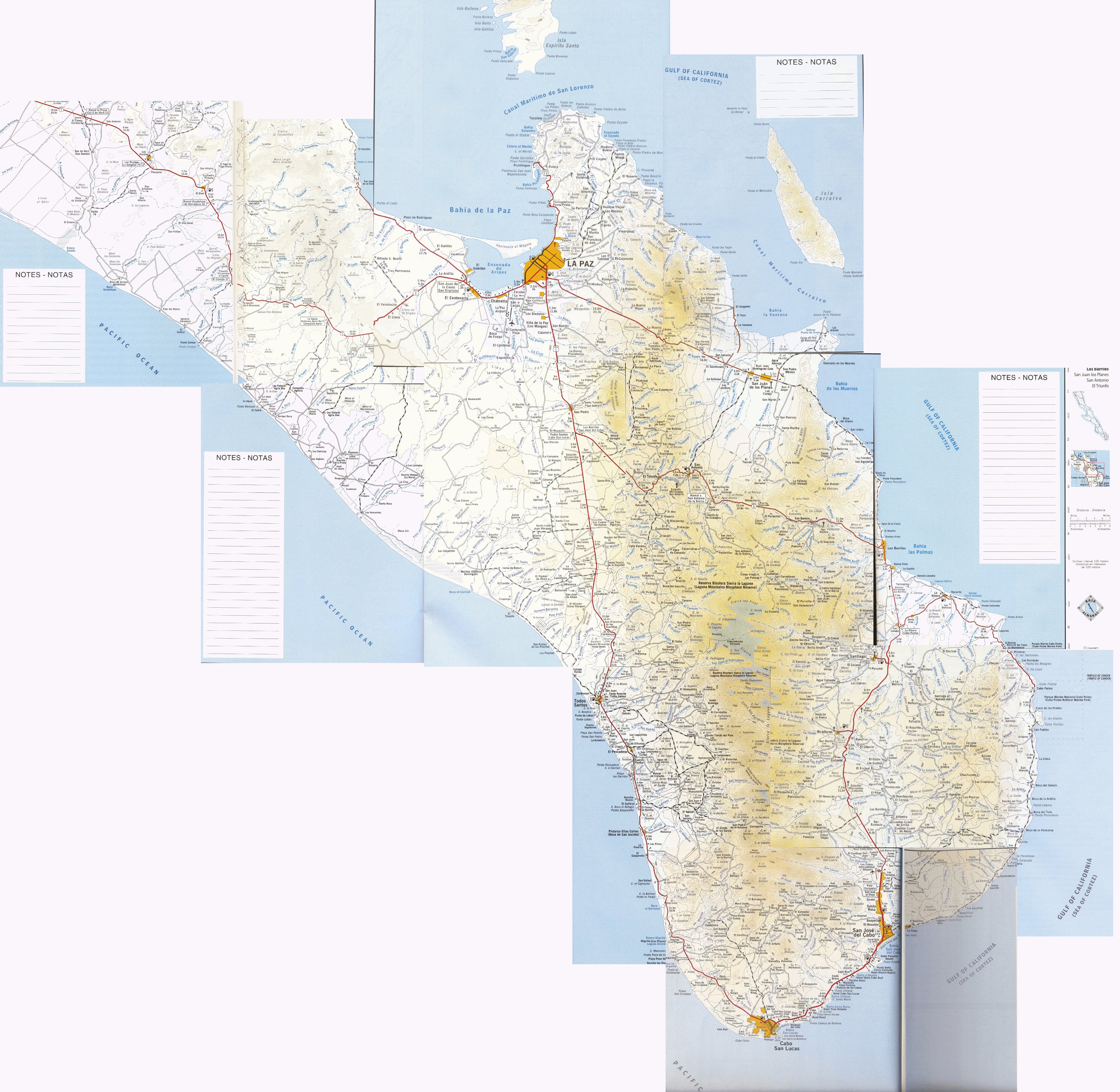
| Kilometer 55 (north of La Paz) is the rancho / ejidos turnoff. | 

 |

 |
||||||||||||
| The road to Rancho La Aguja, 15 miles away on the Pacific --- 1200 acres of solitude, but subdivided with all entitlements in place for 400 (?) high-end homes. | 

 |
 |
||||||||||||
| Signs can be questionable. Turnoffs can be similar to the "main" track. Trust your instincts and use a map. | 
 |

 |
||||||||||||

 |

|
|||||||||||||


 Although this is one of the rare instances of having some electricity available, there is not enough for everyone; hence off-grid building is encouraged. Hundreds of acres remain untouched open space. |


|
|||||||||||||

 |
 |
|||||||||||||

 |

 |
|||||||||||||
| The ranch house for the "local help," Ramon y Emma about one mile before the homestead. |  |

 |
||||||||||||
| Finally on "my" beach with my own private casita for the night. Incredible setting! |


|
 |
||||||||||||
| Roberto & I walk around the 1200-acre proposed Playas Pacificas development. Note that all the individual lots have been surveyed and marked. |


|

 |
||||||||||||


|
 |
|||||||||||||


|
 |
|||||||||||||
| Thanks Robert & Linda! For dinner
& breakfast, too. And for the visit also.
|


 |
 |
||||||||||||
| Panorama from the homestead. |  |
|||||||||||||
| This is actually May 9, sunrise. |  |
|||||||||||||


